Local historians, archaeologists and the management of the National Ecology Centre at Sonairte are highly excited at the prospect of secrets, buried for hundreds of years under a sixth century monument on their grounds, are about to be revealed.
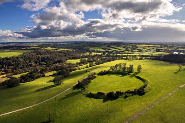
It was announced this week that the monument, known locally as The Rath, is to be explored for its archaeological treasures following a special grant from The Heritage Council.
The Rath or ring fort, which is some 30 metres in diameter, was built on the highest point in the landscape overlooking the River Nanny as it enters the sea at Laytown which leads experts to think that it had either a military or commercial use.
The survey will be overseen by the National Ecology Centre with funds made available under this year’s Community Heritage Grant Scheme.
The project, entitled “Sonairte – Surveys of Archaeological Heritage 2021” will assess the archaeological and historical significance of potential heritage on the site.
The grounds of Sonairte and its hinterland are very rich in archaeological remains. Another recorded monument potentially dating to the Iron Age lies to the east.
The project will generate baseline data which will ultimately involve a full conservation, interpretation and management plan.
This will involve a geophysical survey of one hectare of the site in the vicinity of the recorded monument. It will also include a desktop survey of the archaeological heritage within a 3km radius, including recorded artefacts, one of which came from the site.
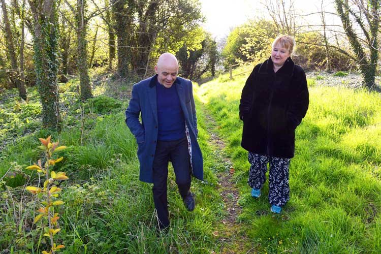
Local historian Brendan Matthews told Drogheda life about the Rath and his hopes for the survey:
In addition, a buildings ‘condition survey’ will provide a basis for possible future structural work. These initiatives will be used as a guide for future development as well as improved access to the site.
The project team includes archaeologist Finola O’Carroll, of Blackfriary Archaeology Field School, and local historian, Brendan Matthews.
Welcoming the funding Ms O’Carroll said: “This is a great opportunity to better understand the context of this intriguing monument, and potentially to locate features adjacent to it.

Mr Mathews added: “The Bettystown/Laytown area has attracted settlement since at least early in the Bronze Age, and being able to add to the picture is very exciting.
“This project will greatly enhance our understanding of both the built and natural Heritage of Sonairte, and its surrounds, and will enable us to look at the importance and significance of the archaeological and historical remains at Sonairte and how it fits into the wider context of our storied past.”
Sonairte’s Education and Public Engagement Officer, Sadhbh Quinn, said: “Sonairte may have been farmed and inhabited since the Bronze Age, providing food, shelter and safety to our ancestors.
“By understanding how people have lived in the area throughout the ages and by making this rich history accessible to our visitors we hope to inspire appreciation of our natural environment and our place in it.”
You can find out more information about Sonairte’s rich heritage by visiting their website: https://sonairte.ie/about/heritage
This project is being upported by the Heritage Council under the Community Heritage Grant Scheme 2021.